
Hiking in Nerja
13 hiking trails in Nerja and the Axarquía with maps, elevation profiles and GPX tracks.
All trails
ModeradaRío Chillar
Nerja
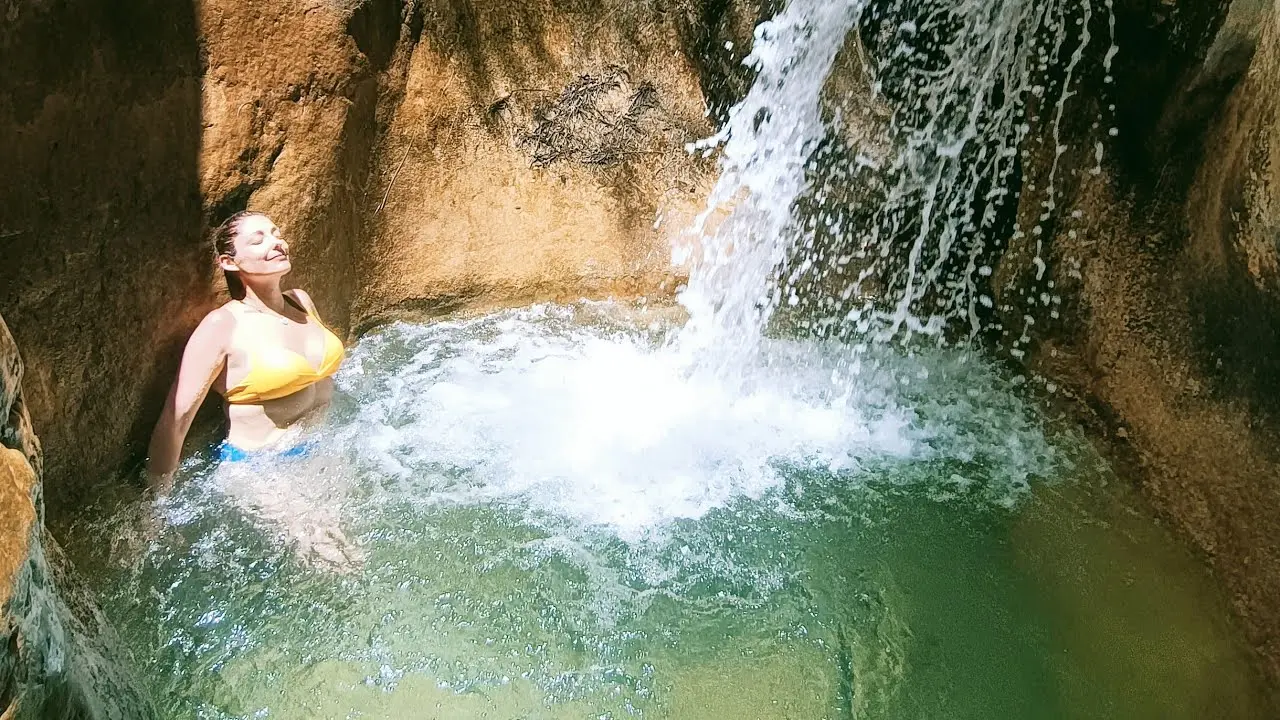
Experience something truly unique in the Cahorros of the Río Chillar. Nerja's most popular water trail, where you'll walk along the riverbed between breathtaking rock walls.
16.0 km+250 m6h 30min
 Moderada
Río Higuerón (Frigiliana)
Frigiliana
A spectacular water trail through the Río Higuerón canyon in Frigiliana. Crystal-clear pools, dramatic narrows and wild scenery just a few kilometres from Nerja.
8.0 km+200 m4h
 Moderada
Fuente del Esparto
Nerja
Fuente del Esparto is a natural spring in the Maro-Cerro Gordo nature reserve. A classic hiking trail starting from the Nerja Caves car park.
10.5 km+450 m4h
 Difícil
Pico del Cielo
Nerja
Pico del Cielo is a stunning 1,508-metre peak located just six kilometres from the coastline as the crow flies. The climb to its summit is a demanding but hugely rewarding challenge.
14.0 km+1260 m6h
 Fácil
FácilMaro-Cerro Gordo Cliffs
Nerja
A spectacular coastal trail along the cliffs of the Maro-Cerro Gordo nature reserve, with sweeping Mediterranean views, hidden coves, and subtropical vegetation.
9.0 km+280 m3h 30min
 Moderada
El Saltillo – Suspension Bridge
Canillas de Aceituno
Málaga's most famous suspension bridge trail. A spectacular path crossing the Almanchares river gorge on a bridge suspended 50 metres above the canyon floor.
7.5 km+350 m3h 30min
 Muy difícil
La Maroma – Rooftop of Málaga
Canillas de Aceituno
A challenging ascent to the highest peak in the province of Málaga (2,069 m). A demanding and rewarding route through the Sierra de Tejeda with views stretching as far as Africa.
20.0 km+1600 m8h
 Fácil
FácilEl Pinarillo (Recreational Area)
Nerja
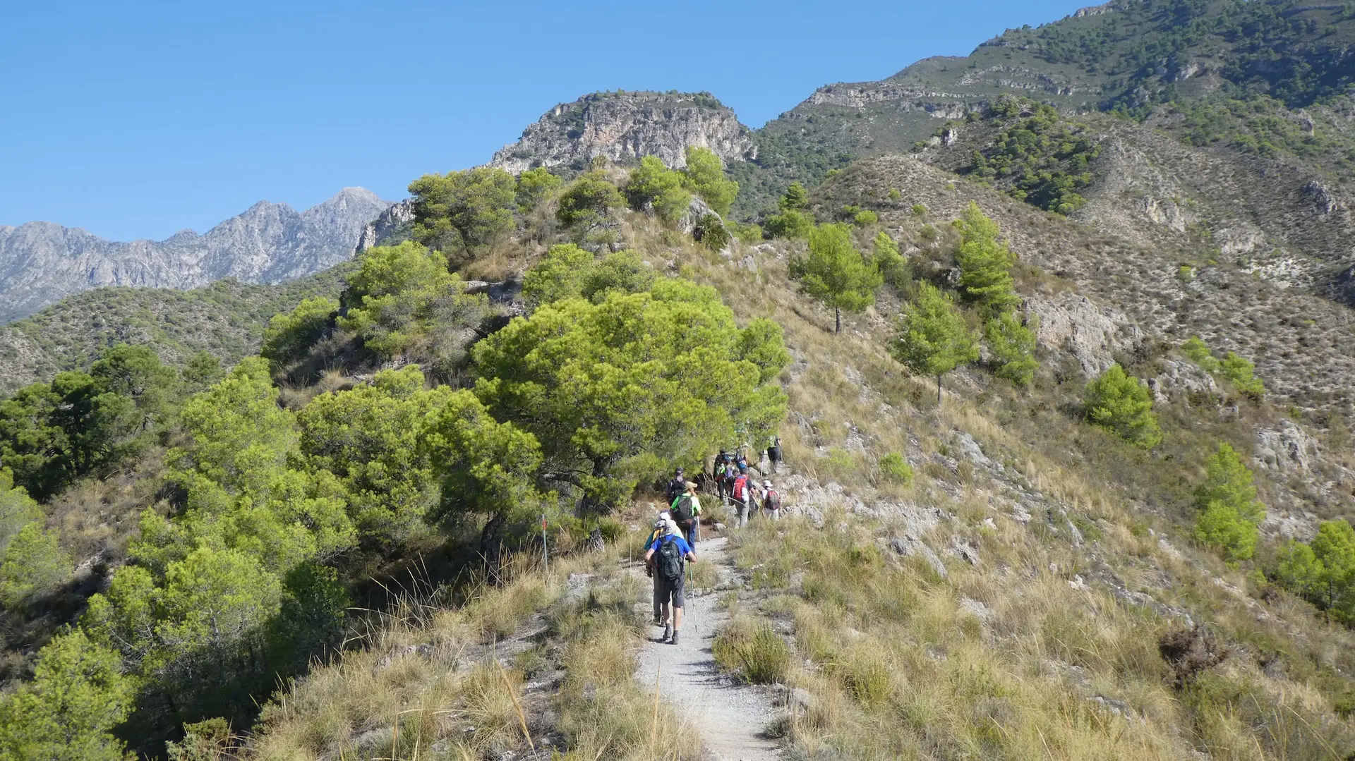
El Pinarillo recreational area, located in the Natural Park of Sierras Tejeda, Almijara and Alhama, is an easy, family-friendly route just 6 km from the Nerja Cave car park.
12.0 km+350 m3h 30min
 Fácil
FácilNerja to Frigiliana (Historic Trail)
Nerja
The ancient path between Nerja and Frigiliana, Málaga's most beautiful village. A walk through tropical orchards, historic irrigation channels, and sweeping views of the Higuerón river valley.
5.5 km+300 m2h
 Fácil
FácilWalk from Burriana to Maro
Nerja
A pleasant coastal walk between Burriana Beach and the village of Maro. An easy route with sea views, passing hidden coves and the iconic Águila Aqueduct.
4.0 km+120 m1h 30min
 Difícil
Navachica Route
Nerja
The Navachica route sets off from Fuente del Esparto. Once used to transport materials from the local mines, it offers a demanding ascent to the Navachica Peak.
15.0 km+900 m6h
 Difícil
Peñón de los Castillejos
Nerja
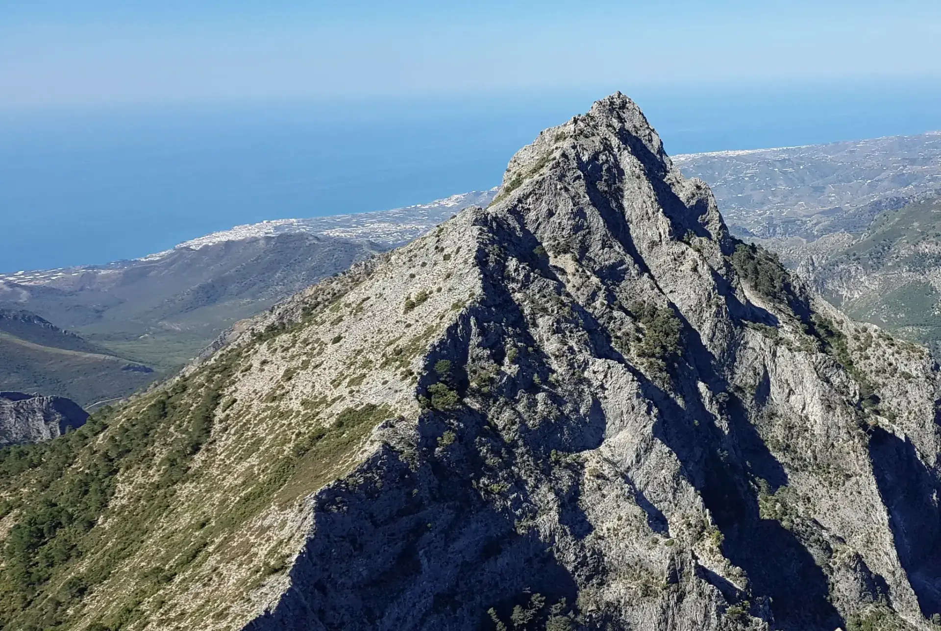
Peñón de los Castillejos is a stunning rock formation in the Natural Park of the Sierras de Tejeda, Almijara and Alhama. A demanding route with spectacular scenery as your reward.
14.0 km+800 m5h 30min
 Moderada
El Almendrón
Nerja
A highly recommended route for its stunning and breathtaking scenery. Located 1 km past the La Furia and Uno mines, turning left at the foot of a large pine tree.
12.0 km+650 m5h
Hiking tips for Nerja
💧
Bring enough water
Water fountains are scarce on many trails. In summer, carry at least 2 litres per person.
☀️
Sun protection
Coastal trails have little shade. Wear sunscreen, a hat and sunglasses.
🧢
Proper footwear
Many trails have rocky terrain. Wear hiking boots with good grip.
📱
Download the GPX
Download the GPX track before setting off. Mobile coverage can be limited.
🌡️
Avoid the midday heat
In summer, start early to avoid extreme heat. Best time: before 10:00.
🚨
Tell someone your route
Always share your itinerary and estimated return time with someone you trust.